Hoopeston Area High School
Geography Web Pages
Western Hemisphere in Stone
GREAT Geography Web Page
M&R Geography
Geography World
The Aral Sea
MapQuest
Search Here
Current View of Day and Night on Earth
World Time
The Analemma
US and World Maps
Map of Europe
United States and World Geography
US Topographic Maps
CIA World Factbook
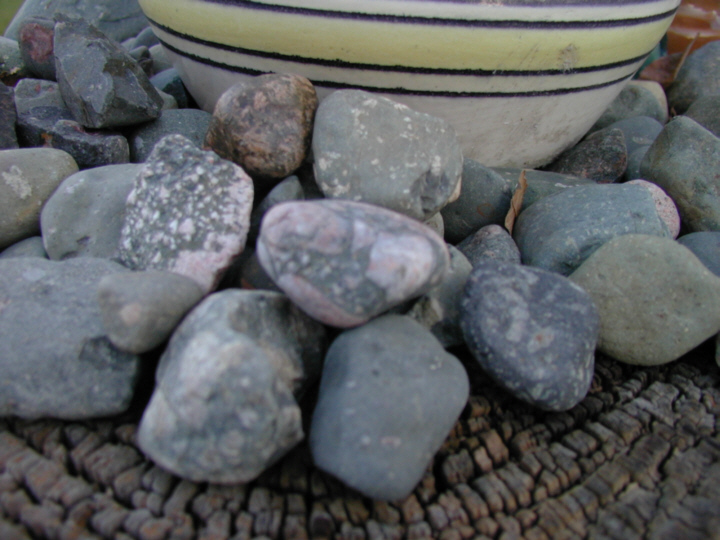
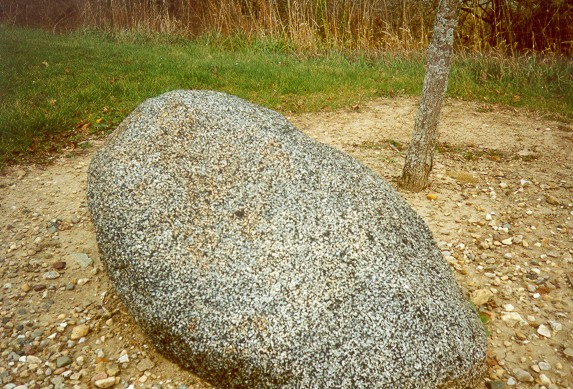
Pebbles of Precambrian Tillite. Many of the larger clasts are granitic -- the darker surrounding matrix was once the finer glacial silts and clays of the till.
US Weather Radar
National Weather Service
Physical Geography Lab Exercises
Agriculture in the Classroom
Careers In Geography
Agricultural Atlas of the US
Breeds of Livestock
Global Circulation
Climate Zones
Groundwater Information
Infoplease.com
Panama Canal Information
Panama Canal Webcam
Nighttime Lights of the World
Roadside America
Illinois Coal
How Stuff Works
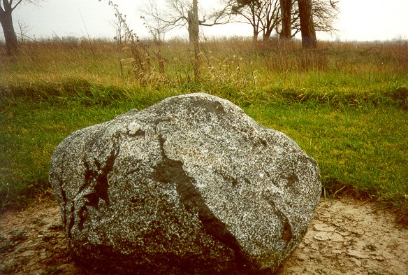
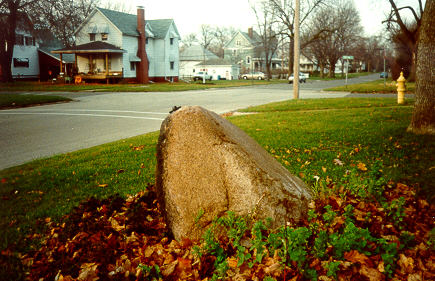
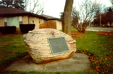
Glacial Erratic Boulders. Pieces of the Canadian Shield in Illinois.
Sylkie -- The GeoCat
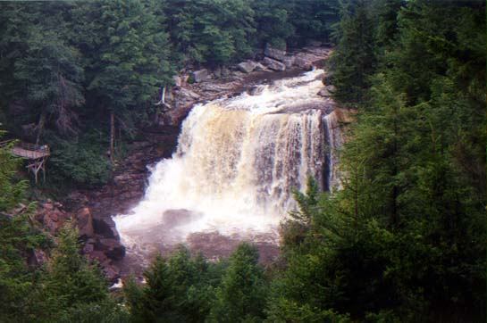
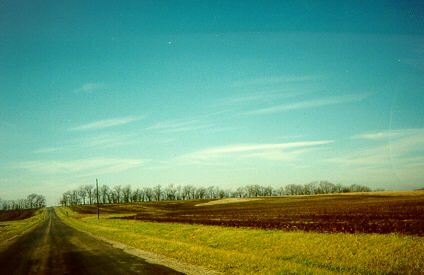
Moraine crest in east central Illinois.
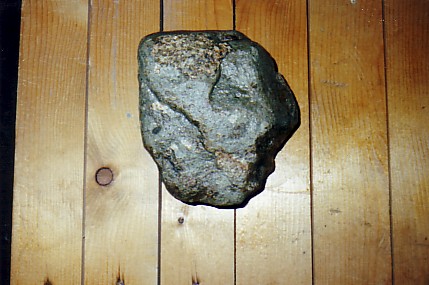
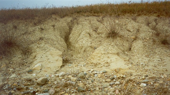
Exposure of glacial till.

ribbon.gif)