|
Vermilion County has seen many changes thoughout Geologic Time. From tropical sea floor, to swampy river delta, to Ice Ages.
The erratic boulder pictured above is part of the Canadian Shield which is exposed to the north of Illinois.
That same bedrock structure underlies Vermilion County at a depth of over 5,500 feet. This represents the oldest of the rock
formations of the area.
The age of this rock is believed to be well in excess of 1 Billion years.
Following many periods of deposition of sedimentary rock in seas that once covered Illinois, the surface was raised and
exposed to the forces of weathering and erosion.
The surface of Vermilion county at this time was very different
than the one we see today. Vermilion county was a hilly region with a great valley trending east-west across the northern
section.
Beginning approximately 1.6 million years ago, the Pleistocene glaciers modified the landscape considerably
-- completely covering the existing surface with deposits known as glacial drift.
Today, the glacial moraines
in northern Vermilion County are the dominant feature of the landscape.
Bedrock Geology Map of Illinois
Map of the Preglacial surface of Illinois
Note on the Bedrock Surface map the valley crossing northern Vermilion county. This is the Mahomet Valley -- the precursor
to the modern Ohio River.
This valley has been obscured by glacial deposits -- but holds a tremendous quantity of
groundwater.
Discussion of the Mahomet-Teays Valley
Groundwater Resouces Map
Discussion of End Moraines
Map Showing Wisconsin Age Moraines in Illinois
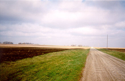
View of the Chatsworth Moraine near Hoopeston.
The
photo does not do justice to the ascent to
the moraine crest.
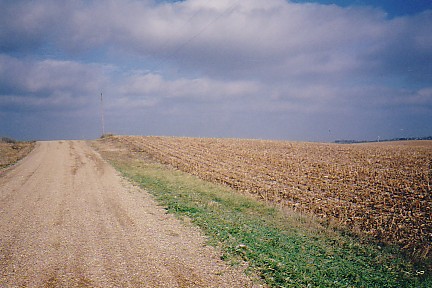
Topographic Map Of Northern Vermilion County
This map uses brown 'contour lines' to show elevation -- where the lines are closer together the land is steeper, where they
are farther apart the land in more gentle.
Where the lines are circling close together is the location of an end
moraine known as the Chatsworth moraine. This moraine acted like a dam and trapped waters released from the retreating glacier
into what is known as glacial lake Watseka.
The water level built to the top of the moraine and eventually overflowed
-- eroding away the moraine material in the process.
The areas that appear whiter on the map are the glacial lake
outlets. The Chatsworth moraine was breached in 4 places -- 2 of which appear on this map.
South of Hoopeston all
the outlets combined, flowed through the Ellis and Paxton moraines and on southward.
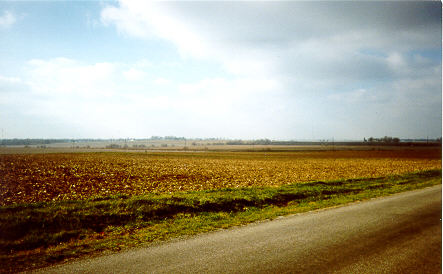
View southwest from Floral Hill cemetery.
The photo was taken from the Chatsworth moraine
looking across
a shallow lake outlet.
Where the land rises in the distance
is another section of the Chatsworth.
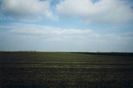
View from County Line Road north.
The land here is extremely flat
-- the floor of glacial lake Watseka.
Wave action in the relatively
shallow lake redistributed sediments
into a nearly flat surface.
As the ice front continued to recede,
lower outlets for the lake were exposed
near Buckley, Illinois,
and those
at Hoopeston were abandoned.
Continued retreat uncovered the
Kankakee River valley and the
lake was drained entirely.
The lake formed again when a glacier
readvanced, but not to the level
where the Hoopeston outlets would
have become active.
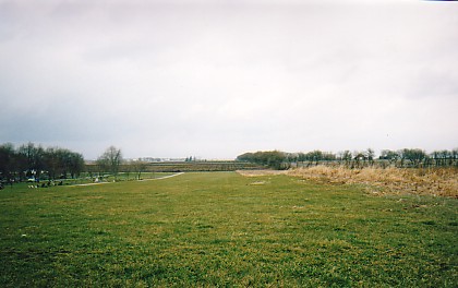
View north: Backslope of the Chatsworth moraine to the flat floor of glacial Lake Watseka.
This lake eventually
overtopped the Chatsworth in 4 places.
Immediately to the west is one outlet -- 3 others are fairly close.
Lake waters sorting the glacial till created important sand and gravel deposits for many miles southward.
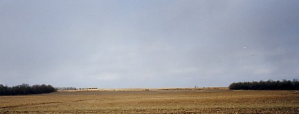
This is thought to be a Subglacial channel.
Meltwaters concentrated underneath the glacier swept the accumulating
till away.
Barely discernable, the channel is very shallow, but does breach the moraine at a depth of 20 to 25
feet from the moraine crests nearby.
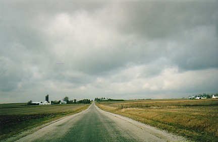
View just to the south of the previous photo.
A great deal of water exited this path, and created a long and valuable
valley train of sand and gravel.
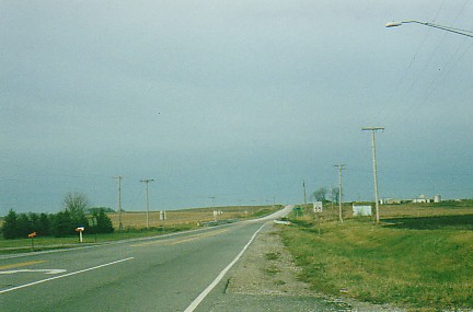
Lake outlet crossed by Illinois Route 9 immediately west of Hoopeston.
The shallow dip in the roadgrade is the outlet.
The Chatsworth moraine appears in the background.
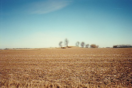
Sand dune east of Rossville, Illinois.
In a relatively small area winds have produced small dunes from outwash sands.
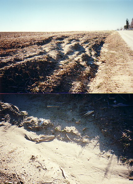
Roadcut through a small sand dune approximately 2 miles east of Rossville, along the Rossville Road.
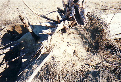
Sand exposed by an uprooted tree.
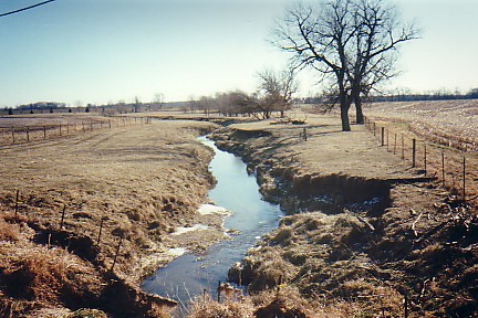
A modern stream downcuts into glacial alluvial deposits.
Meltwaters flowing through this valley deposited sand and
gravel. The present stream is downcutting into this material as it re-grades to a lower base level.
Note the slumping
along the right stream bank.
In this part of Illinois we assume this is 'normal' (for a stream to be entrenched this
way) -- it is not.
We are looking at a youthful geologic surface on which drainage is just beginning to re-establish
optimum patterns.
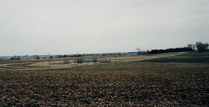
Kettle and pond?
This feature lies within the crests of the Chatsworth moraine southwest of Hoopeston.
The
depression is somewhat enclosed, and the pond shows no evidence of excavation.
Kettles form when a block of ice
is detached from the main glacier, and partially or completely covered by outwash or till.
When the detached ice
eventually melts, a depression is created in the glacial landscape.
|

