|
|
At first glance, or maybe, second and third, there just doesn't seem like much to look at in Illinois.
The landforms of glacial Illinois are subtle -- they do not strike out to the eye the way others do in other areas -- this is what makes them all the more interesting to identify and describe.
A great deal of geologic process has shaped our surface, and how it all came about is a fascinating story.
We will take a look and describe what we see, what it is, and how it got there.
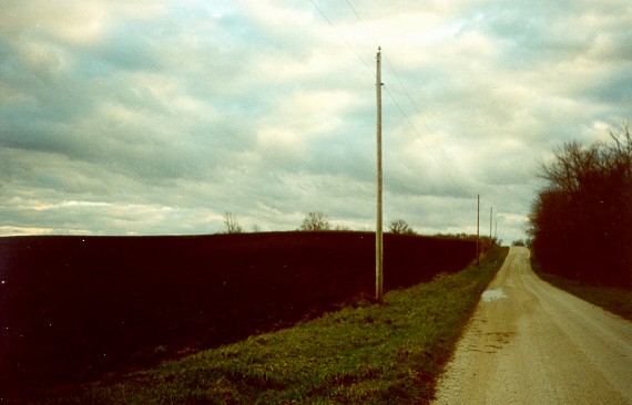
Click the photo for a more detailed discussion of end moraine formation. The black soil in the field is the result of weathering of the glacial drift and thousands of years of prairie grass vegetation.
As the annual grasses grew and died, more and more humus was added to the soil giving it the black color.
Black soil is an unusual feature for most of the world.
Note the gravel used for the road -- it too, is a product of the glaciers. Note that not all of Illinois was covered by glacial ice.
In those areas, we can develope an idea of what much of Illinois was like prior to glaciation.
The Wisconsinan Stage represents the most recently glaciated area -- and where glacial landforms are best displayed. Note the looping patterns of the moraines -- some even cut across earlier ones.
End moraines in northern Illinois are much more pronounced than those farther south, since they are much younger. |
|
|
|
|
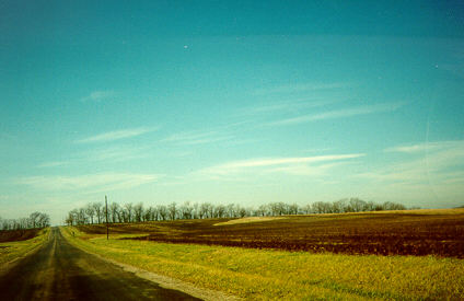
Moraine crest -- moraines range in width from fairly narrow (a mile or so across) to several miles.
When the highways begin to exhibit gentle ups and downs is a likely place to be looking for morainic features -- what is known as 'swell and swale' topography. 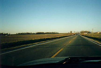
Ascending a moraine north of Danville, Illinois. 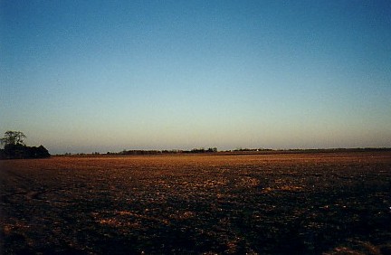
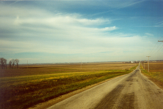
A late fall sunset illuminates the flat surface of a groundmoraine.
These formed during a rapid melt-back of the ice which did not allow time for material to accumulate in mounds, but rather, deposited the glacial till in a relatively flat-topped layer.
On the horizon -- trees grow along a modern stream.
Much of the area between end moraines is that of groundmoraine. 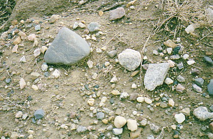
Glacial till. The large gray stone shows flatenning and a few scratchs called striations -- caused by abrasion in transit. 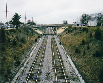
View of the Illinois Central (now, Canadian National) rail cut in Paxton, Illinois.
The cut was made through a moraine to facilitate trains climbing the grade.
Material removed here was taken to Champaign, Illinois to build the 'air-line' across much of that city. |
|
|
|
|
|
This is a view from the foreslope of one moraine to the low ridge on the horizon which is another.
Look for long low ridges on the horizon. 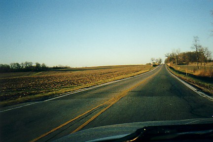
Same location -- a little closer to the crest.
Having topped the moraine, a gentle ride down the backslope brings us to another type of moraine, known as groundmoraine. 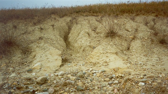
We have seen the surface expression of both end moraines, and groundmoraines -- this is what they are composed of.
Known as glacial till, it is a random mixture of all sizes of rock debris carried by the glacier from colloids to giant erratic boulders.
As glaciers moved across a rock surface, they acquired rock material by abrasion, gouging, and by the lower surface of the ice melting (due to pressure), seeping into cracks and other cavities, and the removing the block of rock as the glacier moved on.
Softer materials were pulverized by the kneading action of the ice flow, harder materials survived -- but often show signs of the wear and tear. 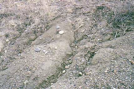
Same exposure a few feet downslope.
Look for exposures of till in road cuts, stream banks, and along railroad grades. 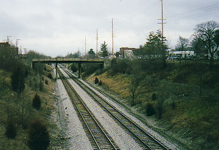
View north. 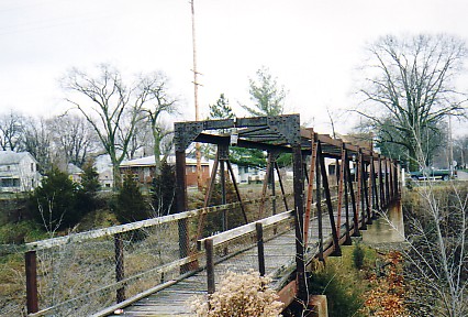
Pedestrian bridge over the rail cut -- dating from the 1920's. |
|
|