|
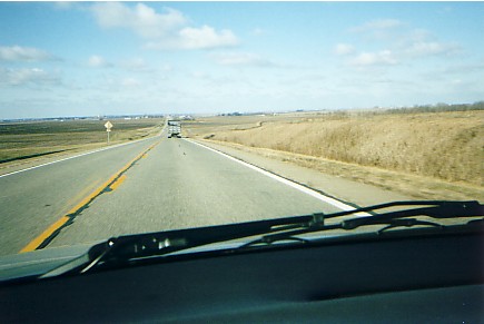
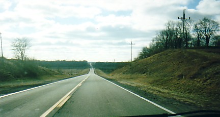
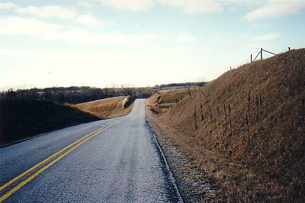
View west: US Route 136 Logan county Illinois.
This decline in elevation marks the limit of Wisconsinan Glaciation. The lower surface is Illinoian in age.
Traffic is descending the front of the Shelbyville moraine.
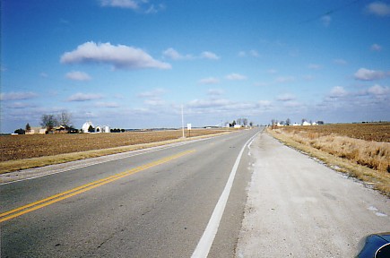
In the far distance lies the Havana Lowland -- created by the meltwater flood known as the Kankakee Torrent. View east: Shelbyville moraine front.
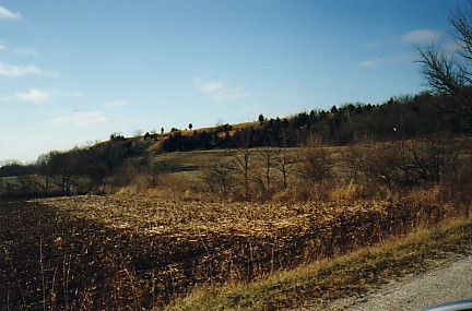
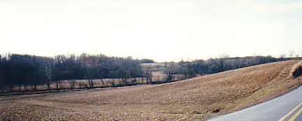
Looks very subtle from this view.
It isn't.
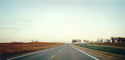
The Illinois landscape becomes vague with
a 'point & shoot' camera. Nearing the top of the Shelbyville -- view toward the east. The Havana Lowland.
In the extreme distance, near the town of Delavan, the Mahomet-Teays met the Mississippi.
(Click the photo for a map of the Havana Lowland)
The large mostly white area is the lowland produced by the Kankakee (and other) Torrents.
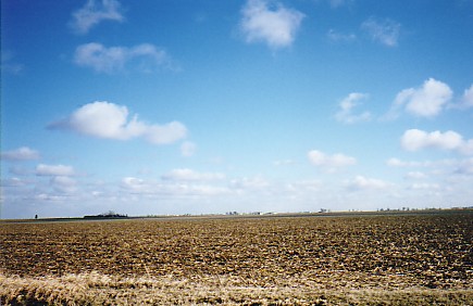
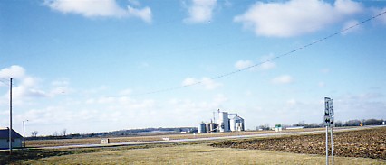
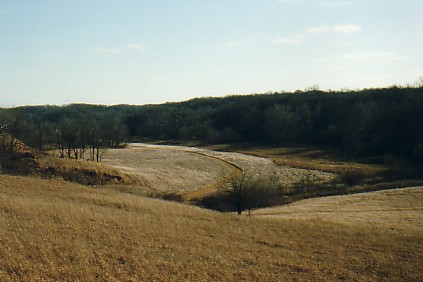
Look southeast of the town of Havana -- swarms of sand dunes! Illinoian Till Plain at the base of the Shelbyville Front -- in the distance is a ridge characteristic of the Illinoian age drift. Illinoian Ridged Till in western Logan county.
Ridges of Illinoian drift are arranged parallel to the ice flow -- and are believed to be ice contact ridges rather than the type of end moraine built by Wisconsinan age glaciers. View of Illinoian Ridged Till north of Mason City. Illinoian till plain west of Petersburg, Illinois.
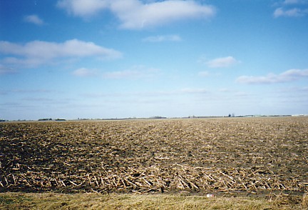
Erratic boulders can be found in Illinoian tills -- but they tend to be far fewer in number, and show a great deal more weathering. Note the absence of rocks in this field.
A great deal of relief here, but it is erosional -- streams flowing to the Sangamon river erode the Illinoian till. What appear as 'hills' are actually stream valleys and the intervening divides. Landscapes can be deceiving -- flat Illinoian till plain lies east and west of this erosional feature -- at a higher elevation. Loess and Sand Dunes |