|
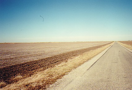
Moraines may be a dominant part of the glacial landscape, but only part -- there are other associated features as well. On the map, to the east of Rossville, is a gently sloping surface. This is an outwash plain that has formed in front of an end moraine.
The moraine can be identified by the circling contours at 725 feet and greater -- the outwash plain gently descends from around 700 feet or so to the wide white areas at 690 feet.
As the moraine was deposited, the meltwaters picked up some of the till and distributed it in front of the moraine and melting glacier. Materials in the till were sorted by the running water. Deposits of gravel and sand compose the outwash plain -- the finer silts and clays were carried away in the flowing water.
Note the gravel pit in the modern valley of the Middle Branch of Jordan Creek -- quite likely, the meltwaters were somewhat more concentrated here and thus produced a thicker deposit that is ecomonically viable. 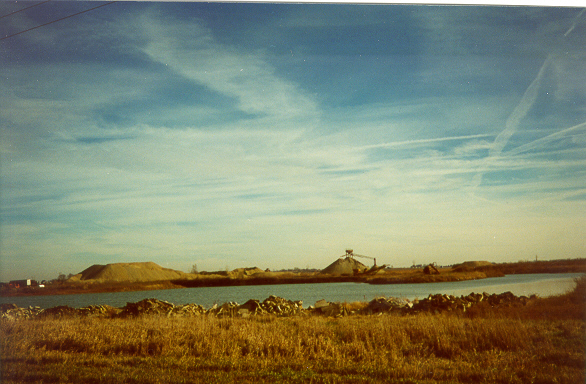 This sand and gravel pit is in northern Champaign County in a situation similar to that at Rossville.
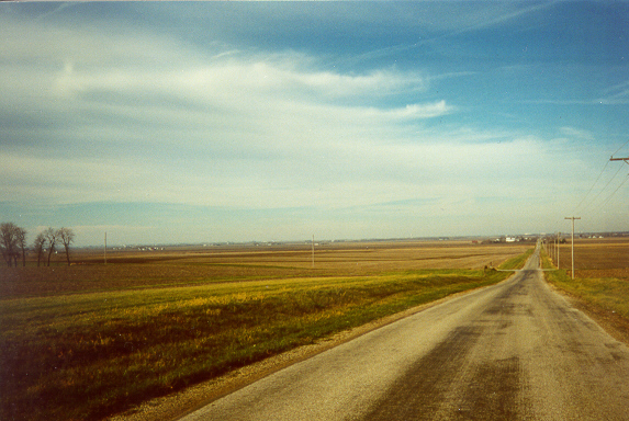
To the north and northeast lies a moraine (barely discernable in the distance). Meltwaters became concentrated between two crests of the moraine and spread sand and gravel to the southwest.
The fairly level surface around the pit is part of the outwash plain.
Statewide, sand and gravel operations produce tens of millions of dollars annually.
View from a moraine crest -- note how the surface sweeps away from the moraine in a broad gently descending surface.
This is the surface of an outwash plain.
In the far distance lies another end morine. Another sand and gravel pit -- this time along a modern stream. Occasionally, the meltwaters from a glacier would become channeled and deposit the sand and gravel in a downstream direction for a number of miles.
Such a feature is called a Valley Train.
Valley train deposits account for many sites of sand and gravel pits.
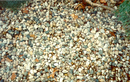
Subsequently, modern drainage followed the glacially-established waterway. Glacial pebbles are increasingly used as landscaping material. Other uses include railroad ballast, aggregate for concrete, fill and drainage material, and paving for paths, parking lots and roads.
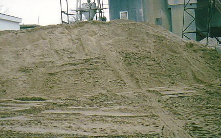
Road paving material contains a high percentage of 'fines' so that compaction will occur. Glacial sand is stockpiled by a local construction company for use in the concrete mill.
Transportation costs limit the distance heavy material such as this can economically travel. This sand was produced from a local pit.
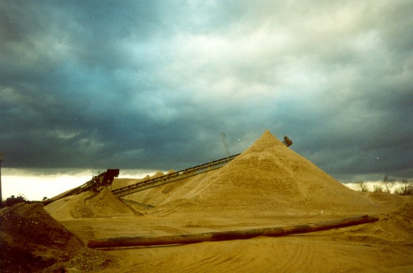
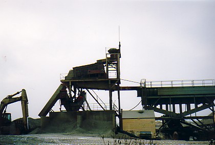
Outwash is screened into different sizes. There is quite a bit more to the operation of a gravel pit than most might imagine! Machinery used to separate outwash into its components.
Pebbles, pea gravel, and sand. Here, meltwaters were confined to a sag between two moraines -- sand and gravel were deposited for several miles.
The northern-most pit shown here, being close to the moraine front, produced a very coarse gravel, and was used for only a short time.
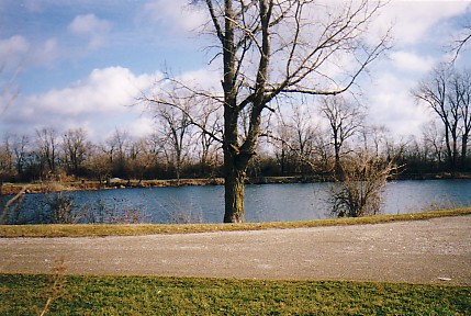
Other former pits, remain private property and/or have been converted to recreational uses.
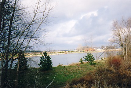
An example of multiple land use. Valley train terrace in northern Vermilion county.
Water from glacial Lake Watseka flowed southward here and deposited sand and gravel. The present day North Fork River is downcutting into these units.
Similar locations have proven to be very productive sources of sand and gravel. An abandoned gravel pit in northern Vermilion county.
Located in valley train deposits of outlets from glacial Lake Watseka. Former gravel pit now used as a fishing lake. Gravel pit near a moraine front.
Product here was of a very coarse nature and the pit operated for only a short time.
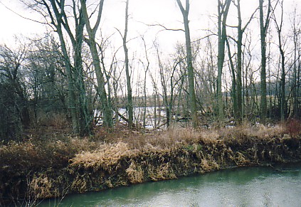
Now the site of a new home, barely visible in the distance. Abandoned pit in the background -- North Fork of the Vermilion River foreground.
Nearby pits were used as garbage dumps years ago, and filled in -- not something that would happen today! 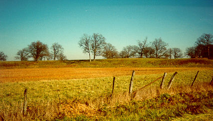
Valley wall and terrace.
Middle Fork River, Champaign County.
Meltwaters flowing between moraines cut the
valley and later filled it with sand and
gravel outwash.
Subsequent downcutting by the modern Middle Fork
has produced this elevated prior floodplain
-- now a terrace. |