|
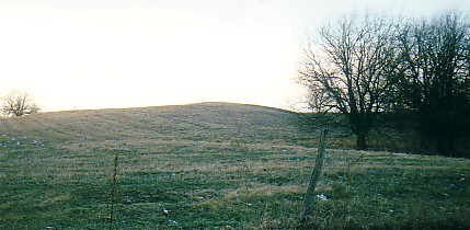
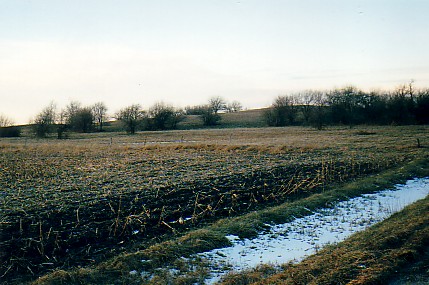
Loess Deposits
Click Here: Dust Storms in Illinois
Click Here: Loess deposits well beyond the extent of Pleistocene glaciers
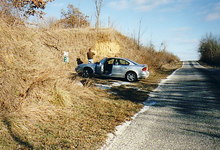
Examining and photographing an exposure of loess -- near the Sangamon and Illinois Rivers.
Snail shells were abundant
in this deposit.
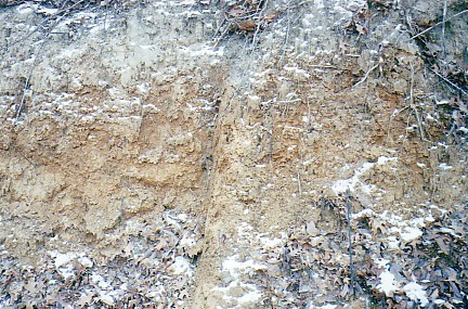
Adhesion of particles of loess allow an almost vertical angle of repose.
The reason for this adhesion is a matter
of some discussion.
If saturated with water -- loess will slump.
Near the Illinois River, loess may be 25 feet thick!
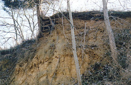
Modern soil developed on loess.
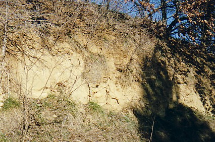
Near vertical roadcut in loess.
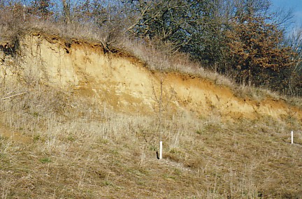
Loess near the edge of the Havana Lowland -- the source of much of the silt.
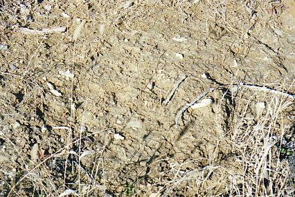
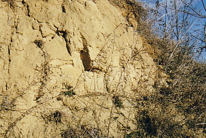
The white objects are carbonate concretions.
Called 'Loess Kindchen' (loess children)
they were used as toys
by Native Americans.
Some are hollow and rattle when shaken.
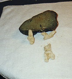
Three somewhat cat-shaped loess kindchen
are near a boulder of Gowganda Tillite.
Sand Dunes in Downstate Illinois
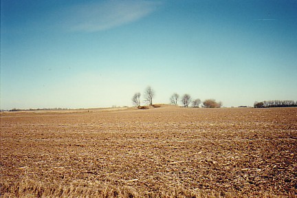
Trees are growing on a small sand dune east of Rossville, Illinois.
In a limited area, outwash sand was blown into
dunes.
A low sand dune along the Rossville Road -- approximately 2 miles east of Rossville.
People have been observed here
collecting sand -- for sandboxes, or kitty. . .
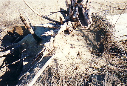
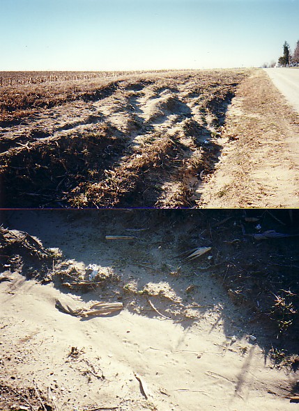
An uprooted tree exposes sand -- east of Rossville, Illinois.
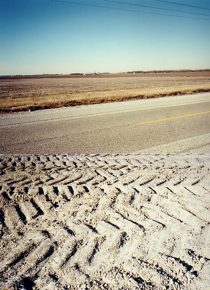
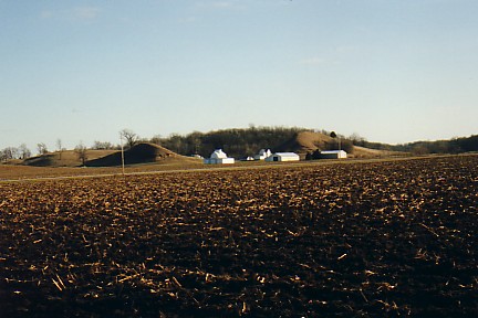
Upper Photo -- Sandy outwash plain in front of the Paxton Moraine, Rossville, Illinois.
Lower Photo -- Tractor tires
imprint outwash sand in recent drainage improvement works.
Click Here: Sand dunes northeast of Saint Anne, Illinois
Click Here: Sand dunes near Havana, Illinois
Sand dune near Woodland, Illinois.
Note the gentle windward side of the dune to the left -- and the gradient leading
to the slip-off slope to the right.
Bossie had good advice!
Photographer's audience across
the road offers advice and council.
Ok Bossie -- here it is!
Thanks!
Dune sand and snow.
Woodland, Illinois.
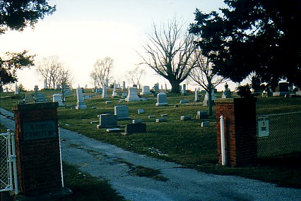
Body Cemetery, Woodland, Illinois
(pronounced BO-dee)
Cemetery on a Sand Dune
Click Here: Cemetery on a Sand Dune
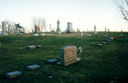
Sand dune crest at Body Cemetery, Woodland, Illinois.
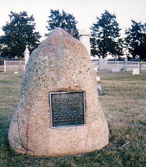
Glacial erratic monument -- Body Cemetery, Woodland, Illinois.
Hoopeston's Location
|